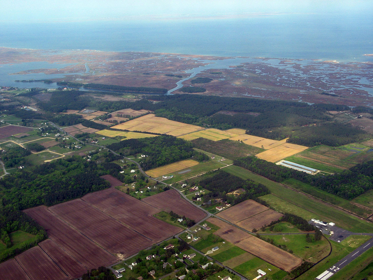
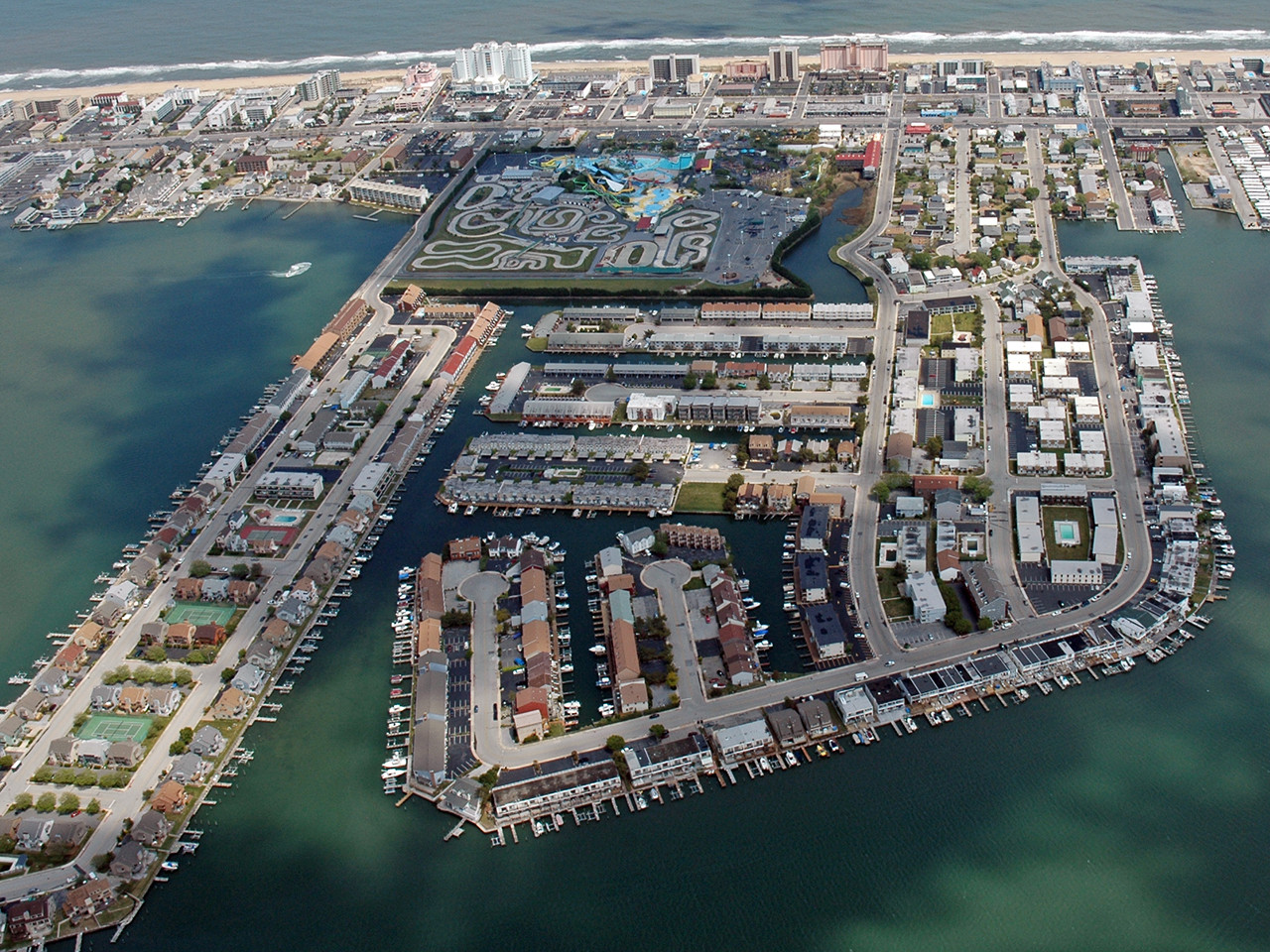
Landuse in Maryland
By 2035, Maryland's population is projected to grow to nearly 6.7 million residents. Over the last 15 years, Maryland has developed several different frameworks to address growth planning. The State has a history of smart growth legislation with initiatives like the Land Use Act of 1974 and the Tidal Wetlands Act of 1970. The current statewide policy, the Sustainable Growth Planning Principles, replaced Maryland’s 12 planning visions with 8 principles that shift from smart growth to focus on sustainable growth that addresses equity, economy, and environment. Specifically, the 8 principles are land, transportation, housing, economy, equity, resilience, place, and ecology. With this policy, local governments strategically plan how their communities can grow, not only where it makes sense to expand, but also where they can preserve agriculture, forests, wetlands, and other sensitive resources.

Planning for the future
The 8 Sustainable Growth Planning Principles provide a holistic, measurable framework to balance infrastructure expansion with resource conservation.
- Targeted Growth & Conservation: Direct development to existing population hubs while protecting natural and working landscapes and ecosystem resilience.
- Infill & Mixed-Use Design: Prioritize building reuse, walkable mixed-use development, and accessible public spaces.
- Housing & Equity: Expand affordable housing, reduce homelessness, repurpose vacant lots, and ensure community voices drive planning decisions.
- Multimodal Transit: Build connected transit networks linking residential, commercial, and employment centers to lessen car reliance.