Toggle information panel
Overview
Pre-1950
1950s
1960s
1970s
1980s
1990s
2000s
1999-2002
2003
2004
2005
2006
2007
2008
2009
2010s
2010
2011
2012
2013
2014
2015
2016
2017
2018
2019
2020
2021
2022
2023
2024
2025
2050
Beyond

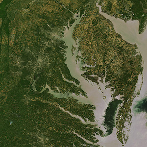
Satellite image of the Chesapeake Bay in Maryland.
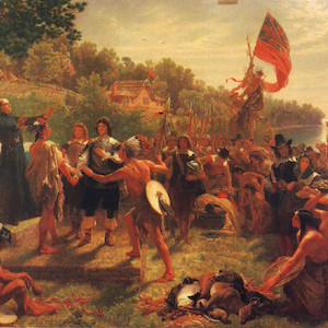
Painting of colonists and Native Americans meeting in Maryland in 1634.
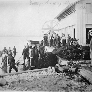
Photo of a group of people working at a fishing hatchery in 1891, with some in the water and others near a building.
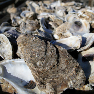
Photo of a close-up of oyster shells.
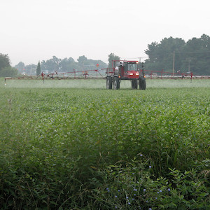
Photo of a tractor applying herbicides on an agricultural field.
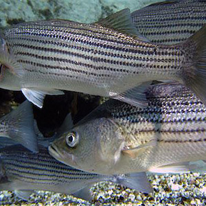
Photo of several striped bass underwater.
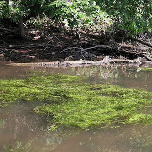
Photo of thick green algae floating in a river.
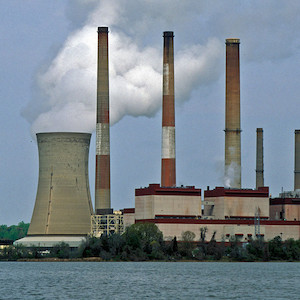
Photo of a coal plant along a body of water, with white smoke being released from one of its cooling towers.
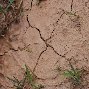
Photo of a dry, cracked patch of ground with a few bits of grass growing.
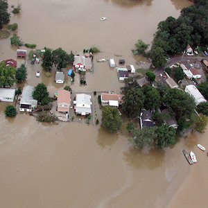
Aerial photo of a flooded neighborhood after a hurricane.
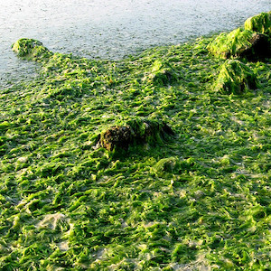
Photo of large swaths of green sea lettuce washed up on a beach.
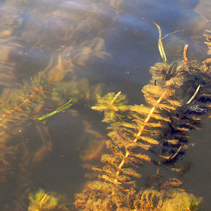
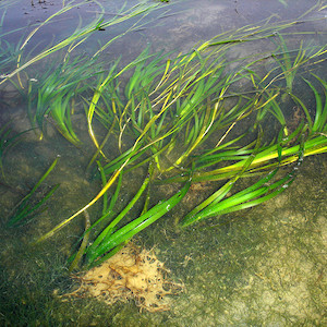
Photo of submerged aquatic vegetations seen from the surface of some water.
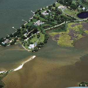
Arial view photo of an area of land surrounded by water.
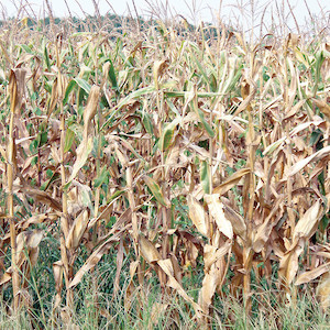
Photo of a crop of corn with mostly brown stalks and leaves.
Photo of a shallow area of water where some submerged aquatic vegetation and algae can be seen under water.
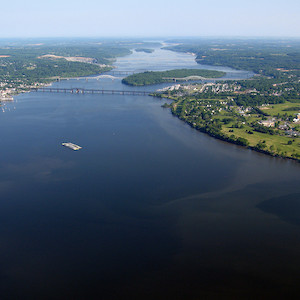
Aerial photo of a river with land on both sides and several bridges crossing the river in the distance.
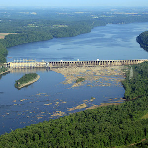
Aerial photo of water flowing through a dammed river.
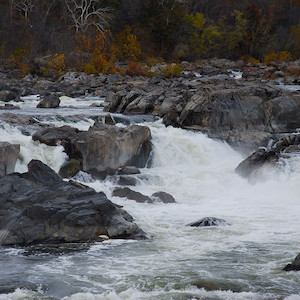
Photo of water flowing through a wide and rocky river.
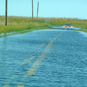
Photo of a flooded road with several inches of water, grass on either side, and a car in the distance.
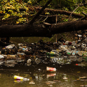
Photo of a stream with a fallen tree trunk hanging over it, with trash such as plastic bottles and cups caught in the tree’s branches.
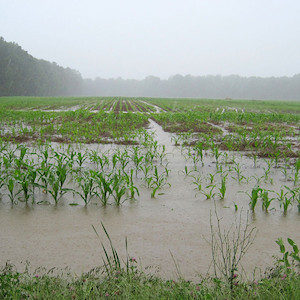
Photo of a field of young corn crops in the rain, with several inches of muddy water on the fields.
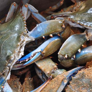
Close-up photo of several live blue crabs in a bucket.
Water plumes coming off Parks Neck into the Honga River. Dark areas are widgeon grass (Ruppia maritima) meadows. (Photo courtesy of Jane Thomas, IAN).
Butch Walters of Deal Island, MD, harvests oysters in the waters north of Deal Island. (Photo courtesy of Chesapeake Bay Program).
Aquatic vegetation at Susquehanna Flats. (Photo courtesy of Chesapeake Bay Program).
Stormwater ditch full during heavy rains. (Photo courtesy of Jane Hawkey, IAN).
Sorting seagrass biomass for analysis of biomass, shoot length, nutrient content. (Photo courtesy of Adrian Jones, IAN).
USGS measures spring flooding at Chesapeake bay's largest tributary. (Photo courtesy of Joel Blomquist, USGS).
Back River Waste Water Treatment Plant. (Photo courtesy of Jonathan Kellogg, IAN).
UMCES scientists and visiting scholars engage with local stakeholders in Woodbridge, VA. (Photo courtesy of Lili Badri, IAN).
Nicole Trenholm, co-founder of Ocean Research Project, analyzes samples of microdebris aboard the research vessel. (Photo courtesy of Timothy Wolfer).
A heavily salted sidewalk. (Photo courtesy of the Izaak Walton League of America).
Flyover of the Chesapeake Bay Bridge in Maryland. (Photo courtesy of Jane Thomas, IAN).
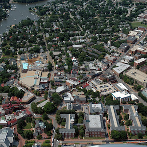
An aerial view showing downtown Annapolis, Maryland near church circle. (Photo courtesy of J. Thomas, IAN).
Grain silos near Cambridge, MD. (Photo courtesy of Adrian Jones, IAN).